1
/
of
6
SMAJAYU
IMU RTK GPS Survey EQUIPEMNT 1cm Accuracy Kilometers Distance Between SMA26 PRO RTK Rover and RTK Base, Work as Base Station for Drones, 0-60° Tilt Surveying(Include Tripod, Pole&Tribrach)
IMU RTK GPS Survey EQUIPEMNT 1cm Accuracy Kilometers Distance Between SMA26 PRO RTK Rover and RTK Base, Work as Base Station for Drones, 0-60° Tilt Surveying(Include Tripod, Pole&Tribrach)
Regular price
$6,306.99 USD
Regular price
$6,306.99 USD
Sale price
$6,306.99 USD
Shipping calculated at checkout.
Quantity
Couldn't load pickup availability
Brand: SMAJAYU
Features:
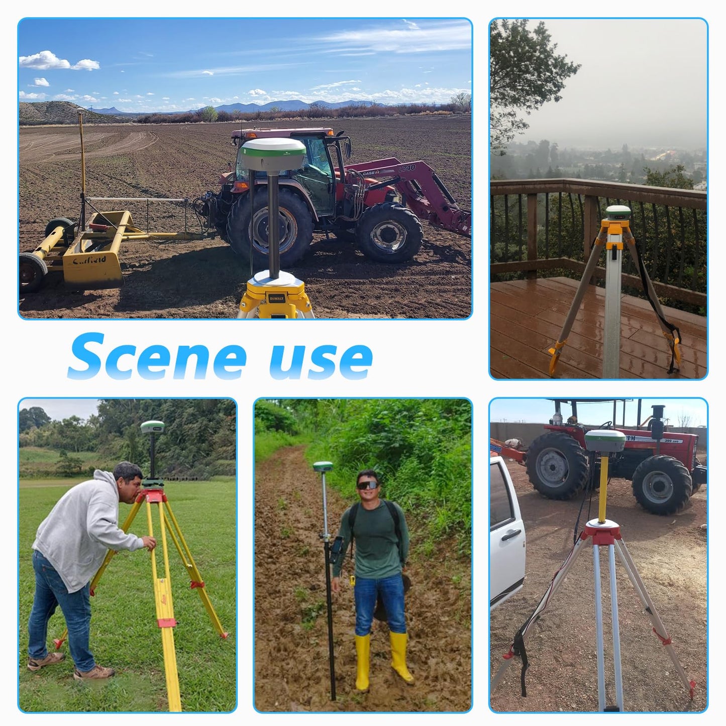
- IMU: SMA26 PRO IMU RTK GPS SURVEY EQUIPEMNT (include surveying tripod, surveying pole and tribrach), Inertial Navigation RTK Receiver, augments positioning accuracy by accounting for motion and changes in direction 0° -60° Tilt
- RTK GNSS: RTK technology provides real-time kinematic positioning and navigation, ensuring accuracy even in dynamic environment. High-Precision GNSS Positioning and Orientation Boards contribute to precise data collection and orientation. GNSS board combines RTK technology ensure accuracy 1cm-2.5cm
- GNSS Full-Frequency: Built-in Beidou/GNSS Full-Frequency Antenna: This antenna receives signals from multiple satellite systems, offering comprehensive coverage for precise positioning. RTK GPS SURVEY EQUIPEMNT SMA26 utilizes various frequency points to enhance accuracy and reliability
- Wireless Connectivity: Enables seamless communication and data transfer between surveying equipment and collector. Wireless Facilitate communication between base and rover stations, ensuring data synchronization. 2-10km range upon different environment city to open field
model number: SMA26 PRO RTK Set
Package Dimensions: 16.1 x 14.8 x 13.0 inches
Share